Release - June 2025 - Major Modernisation

Welcome to the June 2025 release of OnlineWardleyMaps! This is our most significant modernisation update to date, featuring a complete TypeScript migration, enhanced user interface, and streamlined DSL syntax.
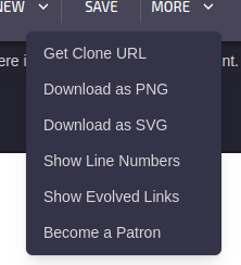
🎯 Key Highlights
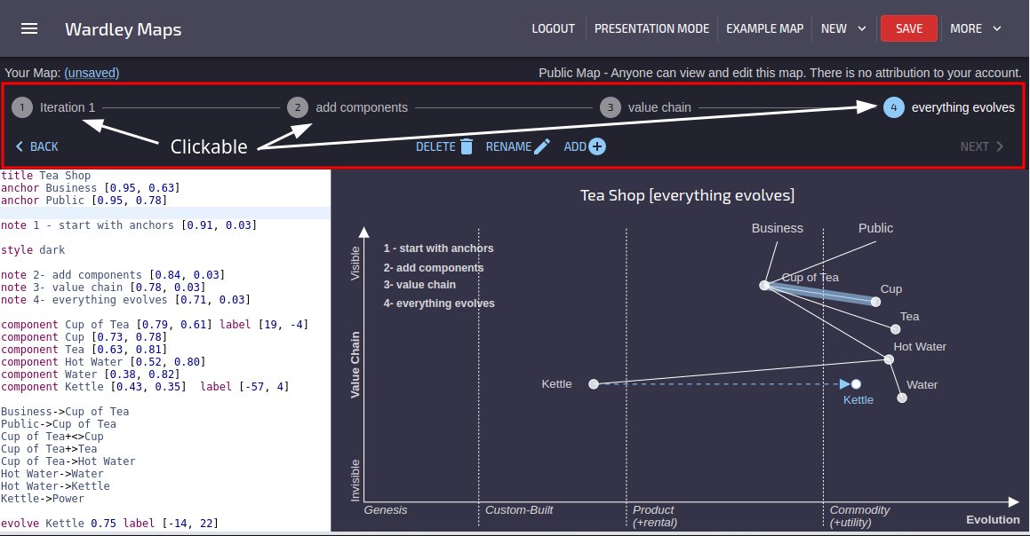
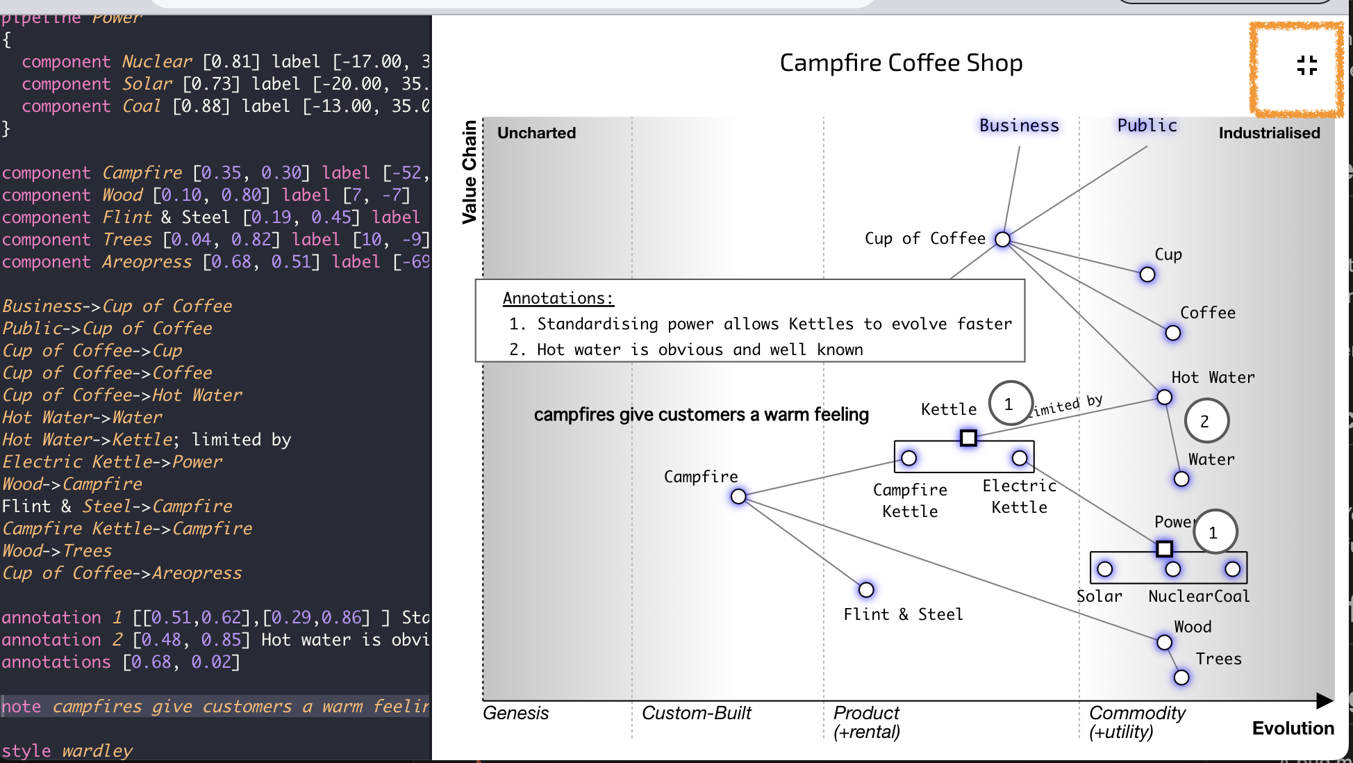
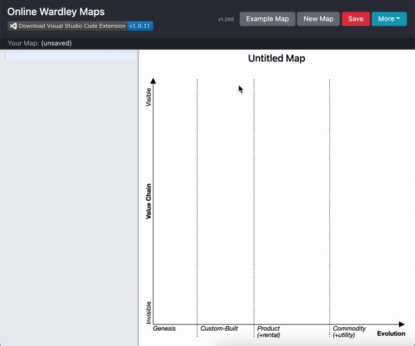
✨ Resizable Editor and Map Interface
We've introduced a brand new resizable split pane interface that puts you in control of your workspace layout. Now you can dynamically adjust the space between the text editor and map canvas to suit your working style.
How it works:
- Hover over the divider between editor and map to see the resize cursor
- Click and drag left or right to adjust panel sizes
- Automatic persistence - your preferred layout is saved in your browser
- Smart constraints - 20% minimum to 60% maximum editor width to keep both panels functional
Perfect for different workflows:
- More editor space (50-60%): Ideal for complex maps with detailed annotations
- Balanced layout (33% default): Great for most mapping tasks
- More map space (20-25%): Perfect when you primarily interact with the visual map
The resize feature works seamlessly across light and dark themes, with the divider automatically adapting to your chosen interface style.
🔧 DSL Syntax Modernisation
We've simplified and modernised the Domain Specific Language (DSL) to make it more consistent and intuitive.
Market and Ecosystem Components
Legacy syntax (now removed):
market CustomerBase [0.9, 0.3]
ecosystem TechPlatform [0.4, 0.7]
New unified syntax:
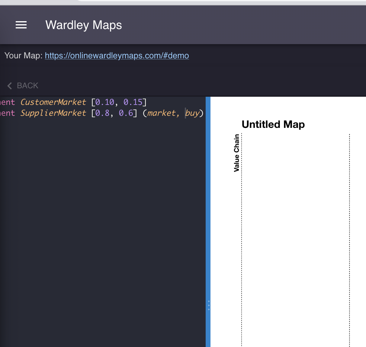
component CustomerBase [0.9, 0.3] (market)
component TechPlatform [0.4, 0.7] (ecosystem)
Benefits of the new approach:
- Consistent syntax across all component types
- Decorator support - combine market/ecosystem with build/buy/outsource
- Better tooling - improved syntax highlighting and auto-completion
- Enhanced semantics - markets and ecosystems are clearly specialised components
Enhanced Decorator Combinations
The new syntax enables powerful combinations:
component SupplierMarket [0.8, 0.4] (market, outsource)
component TechEcosystem [0.6, 0.2] (ecosystem, build)
component Platform [0.5, 0.8] (market, buy)
Migration Guide: Existing maps using the legacy market and ecosystem syntax will continue to work, but we recommend updating to the new decorator syntax for future compatibility and enhanced features.
🚀 Complete TypeScript Migration
OnlineWardleyMaps has undergone a complete migration from JavaScript to TypeScript, bringing significant improvements to code quality, developer experience, and application reliability.
What This Means for Users
- Enhanced Performance - Better optimisation and faster rendering
- Improved Reliability - Stronger type checking prevents runtime errors
- Better Error Messages - More helpful feedback when something goes wrong
- Future-Proof Architecture - Foundation for upcoming features and improvements
Technical Improvements
- Unified Component Architecture - Consistent interfaces across all map elements
- Type-Safe Link Strategies - Robust handling of component relationships
- Modern React Patterns - Improved state management and component lifecycle
- Enhanced Symbol System - Modular, performant SVG-based map elements
🛠️ Architecture Enhancements
Unified Map Elements
The new TypeScript architecture introduces a unified component system that treats all map elements consistently:
interface UnifiedComponent {
  id: string;
  name: string;
  type: string; // 'component' | 'anchor' | 'market' | 'ecosystem'
  maturity: number;
  visibility: number;
  decorators?: ComponentDecorator;
  // ... additional properties
}
Improved Link Processing
Enhanced link strategies provide more reliable component connections:
- Strategy Pattern Implementation - Clean separation of link determination logic
- Evolution State Handling - Elegant support for evolved and evolving components
- Performance Optimised - Efficient filtering and processing of complex maps
Modern Symbol Components
All map symbols have been modernised with:
- React.memo Optimisation - Prevents unnecessary re-renders
- Consistent Theming - Better support for light/dark modes
- Type Safety - Full TypeScript coverage with proper interfaces
- Modular Design - Easy to extend and maintain
📈 Performance Improvements
The TypeScript migration brings noticeable performance improvements:
- Faster Map Rendering - Optimised component lifecycle and memoisation
- Reduced Memory Usage - Better garbage collection and state management
- Improved Responsiveness - Smoother interactions and transitions
- Enhanced Scalability - Better performance with large, complex maps
🔮 Looking Forward
This release establishes a solid foundation for future enhancements:
- Plugin Architecture - Framework for community extensions
- Advanced Analytics - Enhanced map analysis and insights
- Collaboration Features - Real-time collaborative editing capabilities
- Mobile Optimisation - Improved experience on tablets and mobile devices
📚 Documentation Updates
Our documentation has been updated to reflect all changes:
- Editor and Map Resizing Guide
- Updated DSL Reference
- Component Syntax Guide
- Market & Ecosystem Elements
🔗 Supporting the Project
OnlineWardleyMaps remains free and open-source. If you find it valuable, consider supporting its development:
![]()
Follow @MapsAsCode on X (Twitter) for updates and Wardley mapping insights!
Ready to explore the new features? Visit OnlineWardleyMaps and experience the modernised interface and enhanced DSL capabilities. Your maps have never looked better or been easier to create!